County Londonderry Prints, Posters & Wall Art
Prints, posters and wall art of 4 places in County Londonderry, Northern Ireland. Choose a place to see everything we have of it, or make a street map of your own street. Printed to order, with free UK standard delivery.


Illustrated posters and art prints of County Londonderry

Street map posters of County Londonderry



Make one of your own
Your street, your photograph, your date: made for you, printed to order.
 Your photo, drawn as a poster
 A street map of your street
 The stars on your day
About County Londonderry
County Londonderry is a county of Northern Ireland. It covers about 2,118 square kilometres. It lies beside Lough Neagh, the Atlantic Ocean and Lough Foyle. It borders County Donegal, County Tyrone and County Antrim.
The largest places we print in County Londonderry: Derry and Coleraine.
Every place in County Londonderry
- ColeraineColeraine is a town and civil parish in County Londonderry, Northern Ireland, in the Causeway Coast and Glens district.
- DerryDerry is a city in Northern Ireland, in County Londonderry and the Derry City and Strabane district, on the River Foyle.
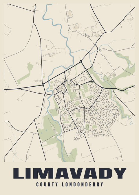
- LimavadyLimavady is a market town in County Londonderry, Northern Ireland, within Causeway Coast and Glens.
- PortstewartPortstewart is a small town and seaside resort in County Londonderry, Northern Ireland.
Landmarks on our County Londonderry prints
- Derry city walls Derry
- Bann Bridge Coleraine
Rivers and waterways
- River Foyle